

 Wood
Professional drone mapping,
construction monitoring, and aerial data analysis
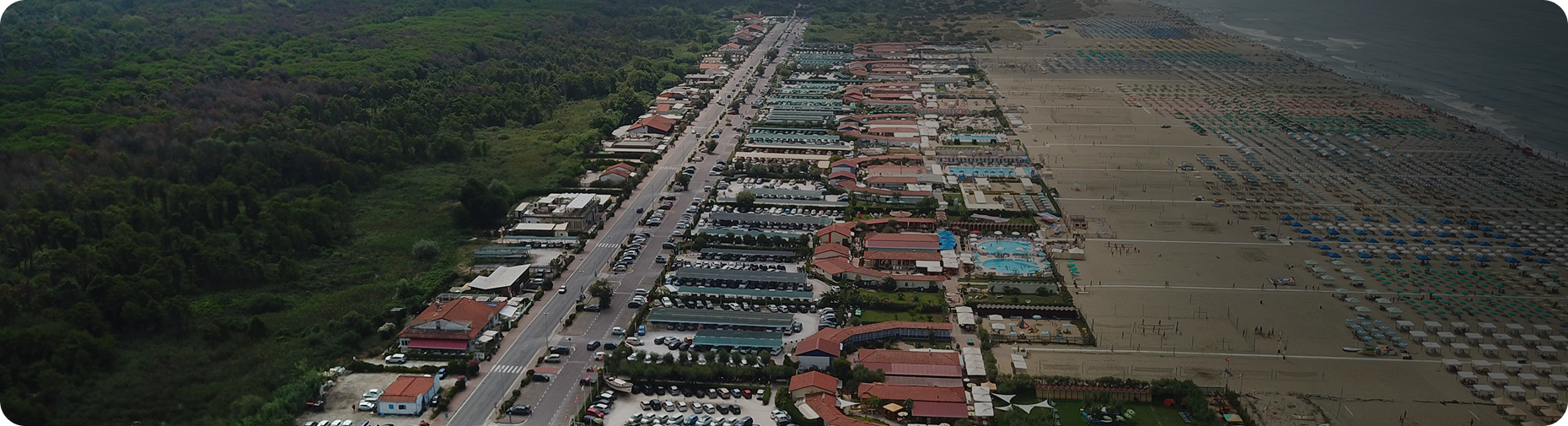
Traditional site inspections can take hours. Drone technology allows us to capture a complete view of your property in a fraction of the time.
Cottonwood Construction Co. provides high-resolution aerial imagery, mapping, progress documentation, and site analysis to help you understand what's happening on the ground and make better decisions.
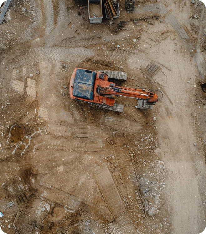
Capture detailed aerial imagery and site conditions for land development, clearing, grading, and planning.
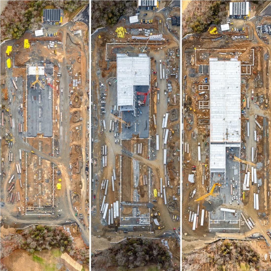
Track site progress, document milestones, and maintain a visual record throughout your project.
Turn aerial imagery into useful information that helps you evaluate terrain, site conditions, quantities, and progress.
Tell us what you're working on, where the property is located, and what information you need.
We determine the appropriate flight area, imagery requirements, and data needed for your project.
Our drone captures high-resolution aerial imagery and site information efficiently and safely.
Receive organized aerial imagery, maps, measurements, and project documentation based on your service package.
From the ground to the sky, we give you a clearer view of your project.
Whether you're developing vacant land, managing a construction project, or documenting site progress, aerial data can give you information that traditional ground-level inspections can't.
High-resolution aerial imagery gives you a clear visual record of your land and construction site — from initial conditions to final completion.
High-performance land management tailored for Georgia's unique terrain.
Create detailed aerial maps by combining hundreds of individual images.
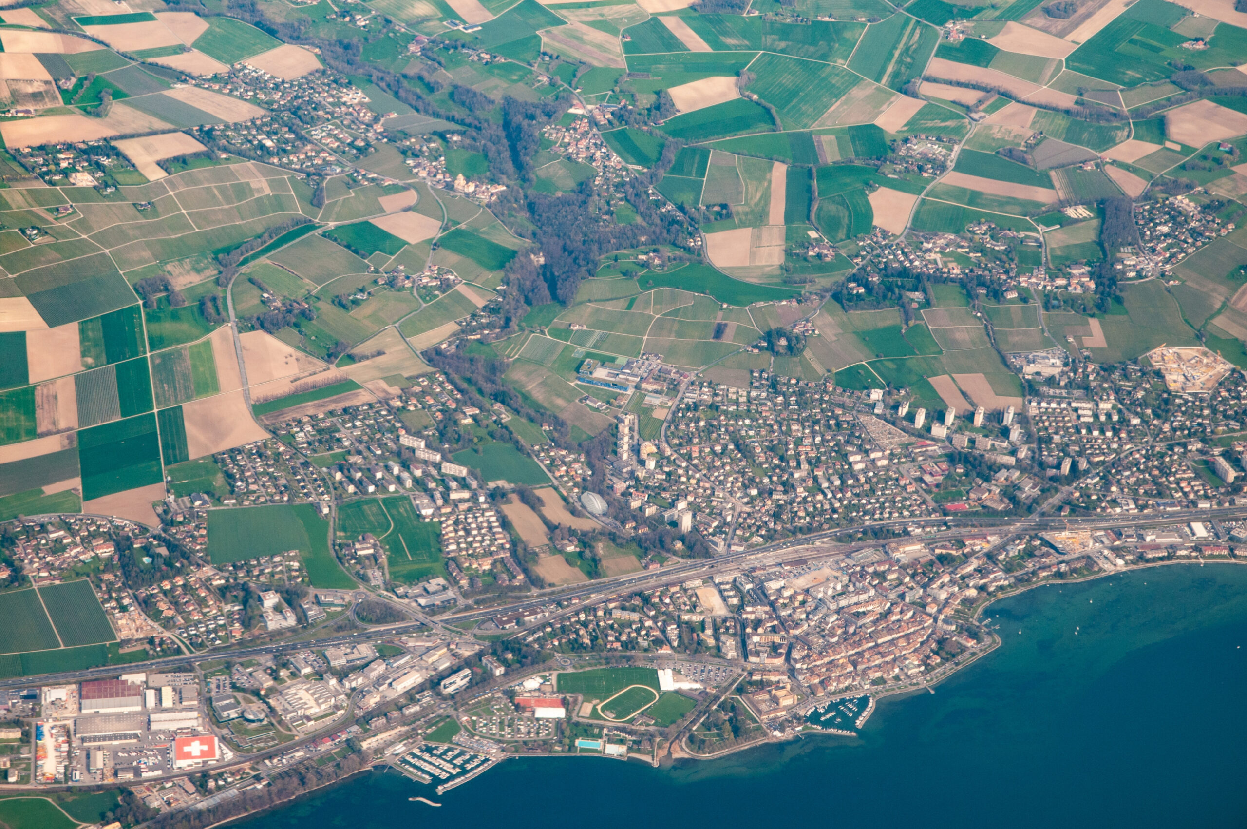
Generate three-dimensional representations of your property and construction site.

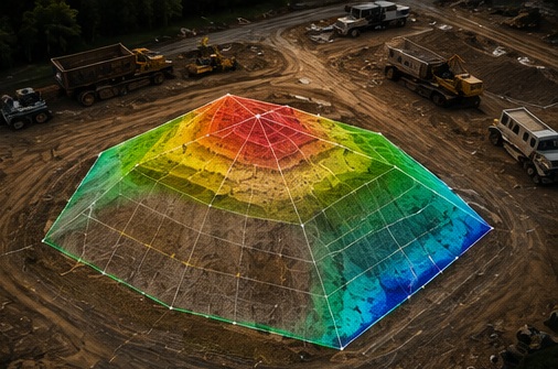
Estimate material volumes for dirt, gravel, mulch, and other stockpiled materials.
Whether you need aerial mapping for a piece of land, progress monitoring for a construction project, or data to help you better understand your site, Cottonwood can help.